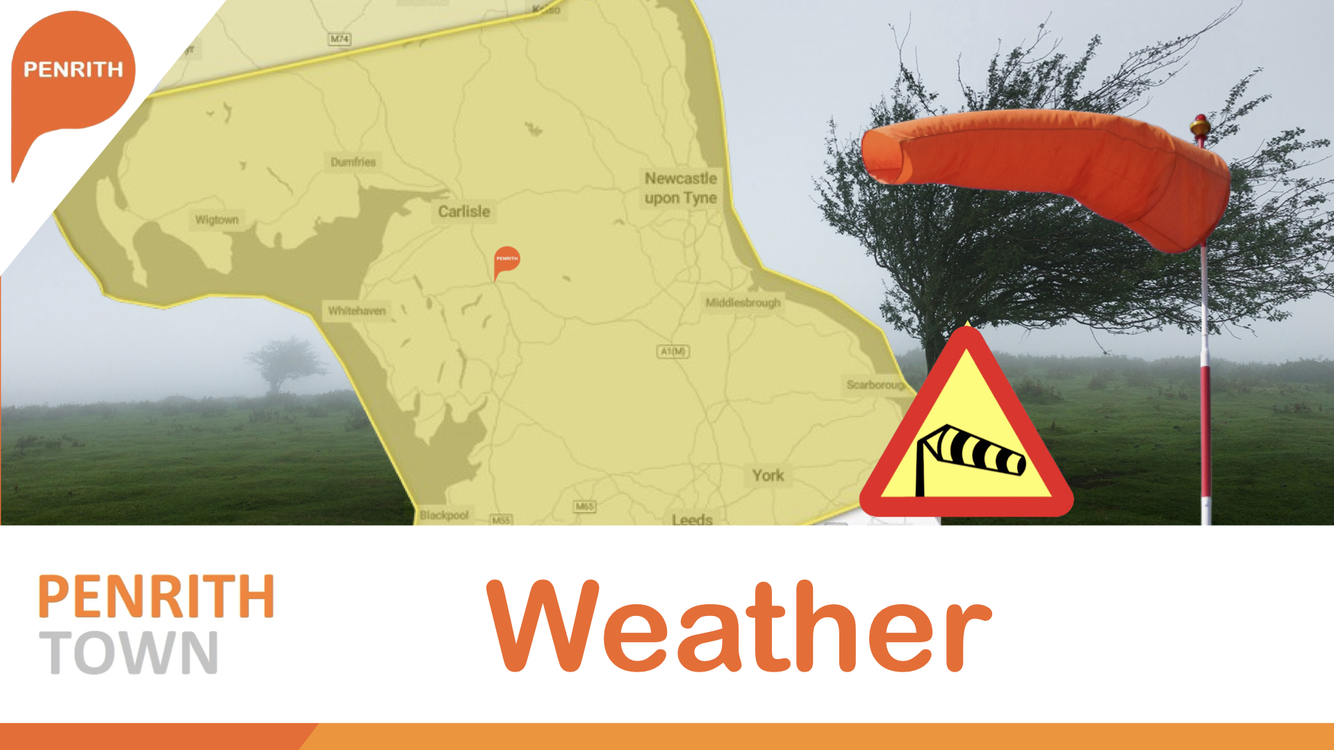
A number of Yellow severe weather warnings for wind have
been issued covering Cumbria along with other parts of Northern England along with
the whole of Scotland, Northern Ireland north Wales as Storm Dave blows in
across the Easter Weekend.
The Yellow warnings are likely to be updated over the next
few hours with the now named storm forecast to bring gusts of 50-60mph wide
areas with 80-90mph gusts possible in exposed locations.
The wind speeds will peak at different times as the deep area of low pressure moves across the north of the UK, with peak gusts in Northern Ireland expected earlier on Saturday afternoon before spreading more widely across the north of the UK.
Storm Dave is likely to bring disruption to Road, rail, air and ferry services, with longer journey times and cancellations possible. Some roads and bridges may close
Power cuts may occur, with the potential to affect other services, such as mobile phone coverage.
Deputy Chief Forecaster, Tom Crabtree, said: “Storm Dave
will form and rapidly deepen on Saturday as it approaches the UK from the west.
By Saturday afternoon winds will strengthen significantly, with gusts of
60-70mph expected at times across parts of Scotland with the potential for
gusts of 80-90mph in exposed coastal locations in Scotland. Gusts of 50-60mph
are likely more widely in northern Britain.
“As well as strong winds, Storm Dave will also bring heavy
snowfall over the hills in northern Scotland where up to 10-20cm of snow could
accumulate. Along with the strong winds this will lead to blizzard conditions.
Elsewhere there will be heavy spells of rain as the system moves through
eastwards across the UK. With Storm Dave a few days away, people should prepare
their property for the strong winds and keep updated with the latest weather
forecast as the weather warnings are likely to be updated.”
RAC spokesperson Rod Dennis said: “The arrival of Storm Dave
is set to make driving conditions across the north and west of the UK this
Easter particularly challenging. While we expect leisure traffic volumes to be
slightly lower on Saturday and Sunday compared with the rest of the bank
holiday, there will still be millions of people on the roads visiting friends
and family.
"Drivers shouldn’t underestimate the impact of the very
strong winds that are forecast. We recommend taking extra care on exposed,
higher routes and being especially cautious when overtaking high‑sided
vehicles, as the buffeting effect can catch some people out. Slowing down and
keeping a firm grip on the steering wheel are both vital in these conditions.”
As Storm Dave clears into the North Sea on Sunday afternoon,
frequent blustery snow showers will feed into Scotland and Northern Ireland.
These showers falling as rain further south in parts of England and Wales.
Easter Monday will be the driest day of the weekend for
weather, with a brief ridge of higher pressure in the wake of Storm Dave
bringing a more settled day. There will be lots of cloud across the UK, though
brighter spells will break through in some regions such as the far south of
England and northeastern parts of Scotland.


 Then select "Add to Home Screen"