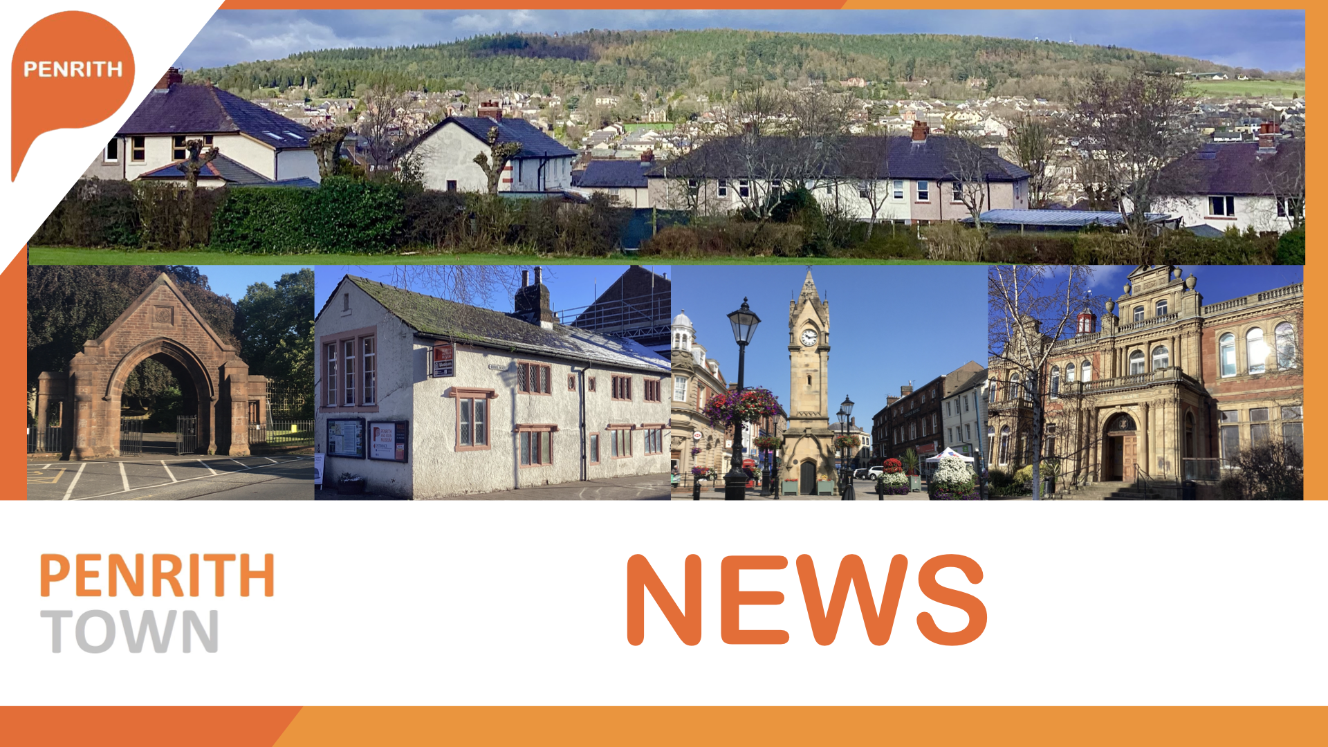
New interactive maps allow you to take a journey around
Penrith of the late 19th Century through to the mid 20th Century.
The interactive maps that brings the town's evolution to
life. The two interactive maps, each covering a distinct era, transport users through
moments in Penrith's history - a journey through the decades that showcases the
town's transformation.
Penrith at the turn of the 19th century (1888-1913) step
into the streets of Penrith in the late 19th century, where paths and roads
wove through the landscape, leading to structures that defined the town today. This
digital time capsule, covering the years 1888 to 1913, unveils the very essence
of Penrith with the early infrastructure and the architectural
landscape that laid the foundation for the town we know today.
A town in transition as the seond map takes us forward to the mid-20th century, spanning the years 1937 to 1961. Here, the streets of Penrith tell a different story - one of progress, resilience, and a community coming into its own. Roads that once meandered now form the structured arteries of the town, long before the M6 and A66 Kemplay roundabout of today appeared. Explore the evolution of transportation routes, and how Penrith of today evolved and has expanded.
 Then select "Add to Home Screen"