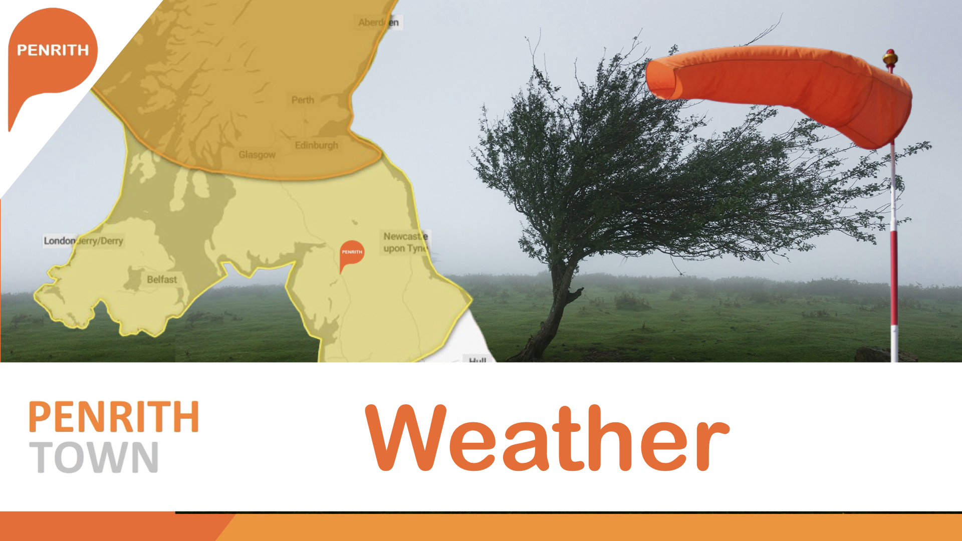
Storm Floris has been named by the Met Office as an unseasonably disruptive weather system blows in from the Atlantic bringing strong winds and heavy rainfall across the Northern half of the UK on Monday and early Tuesday.
Winds in the Atlantic are currently reaching speeds of 159mph as the storm blows east towards Ireland and the Uk.
Light winds from the edge of the storm are already starting to blow in across Cumbria with heavy rain expected later on Sunday evening ahead of heavy rains on Monday morning before the full force of storm Floris blows in around mid morning with and amber warning covering most of Scotland for winds of 95mph and a yellow waring for Cumbria with winds expected to see 80mph.
Winds reaching 50 to 70 mph are expected for many parts and are likely to reach 80 to 95mph on some exposed coasts, hills and bridges.
The national severe weather warning for very strong winds in Scotland has been upgraded to Amber with effect from Monday 10.00 through to Monday 22.00. The Yellow warning covering the northern half of the UK remains in place from 06.00 Monday, until Monday 23.59
Whilst winds are the main, and most widespread hazard associated with Storm Floris, relatively high rainfall accumulations will build-up with 20-30mm of rain forecast to fall quite widely with upwards of 40-60mm over some hills and mountains.
Alex Burkill, a Met Office meteorologist, said: “It’s not that often that we get storms during the summer months, but it’s worth bearing in mind that at this time of year we could see some increased disruption because of the fact that the trees are full of leaf and there are lots of outdoor activities planned.
“You may be camping, you may be trying to head to a festival... as a result, we could see some significant impacts because of not only the rain, but also the winds.”
The Met Office added that flying debris may cause injuries and pose a danger to life in places inside the warning zone, along with large waves and beach material being thrown onto sea fronts, coastal roads, and properties.
With thousands of people camping just south of Penrith at Kendal Calling this weekend expected to depart the festival site on Monday morning as the full force of Stom Floris lands on the area, traffic could face major disruption locally along with an increased risk of flying debris in the area.
Electricity North West is advising people to prepare for potential power cuts as a result of Storm Floris by charging mobile devices and having a touch handy.
Avanti West Coast are advising passangers not to travel north of Preston tomorrow, (4th August), as the West Coast main line route is expected to be heavily affected by Storm Floris. Destinations north of Preston include Lancaster, Oxenholme, Penrith, Carlisle, Lockerbie, Motherwell, Haymarket, Glasgow Central and Edinburgh.Tickets to travel North of Preston dated for tomorrow, 4 August will be accepted for travel today, Sunday 3 August or Tuesday 5 August, at any time via the same route
If you abandoned your journey as a result of the disruption, you can claim a fee free refund from where you bought your ticket. If you continued with your journey but were delayed by 15 minutes or more, you can claim Delay Repay compensation from the train company you travelled with.
The Penrith.Town team will bring you live updates over the next 48 hours as Storm Floris blows in with live updates on power cuts, impacts to trains, bus services and roads locally.
 Then select "Add to Home Screen"